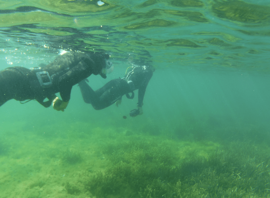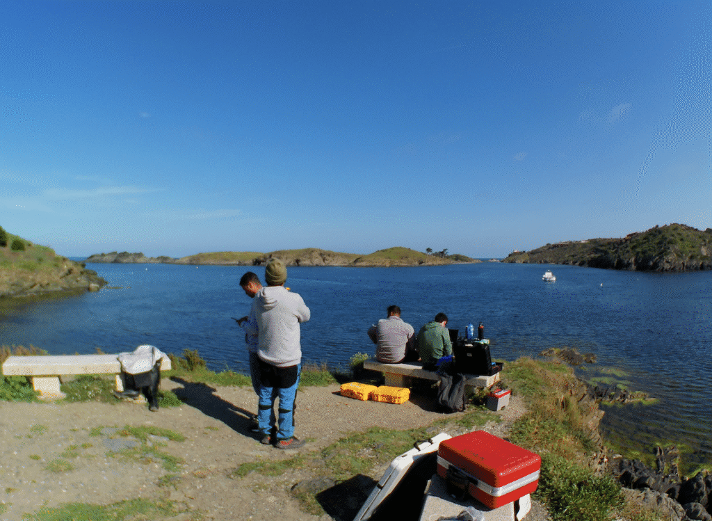
On April 10–11, 2025, GPA-Seabots, in collaboration with GAME-CSIC, carried out a successful expedition to Portlligat Bay in Spain—one of the key locations of the EFFECTIVE Project’s Pilot Area 1.
The primary aim of the mission was to continue the sonar mapping of Portlligat to establish a comprehensive digital terrain model (DTM) of the seafloor. This model will form the foundation of a future 3D geospatial digital twin, enabling more accurate estimation of blue carbon stocks stored beneath the bay.
During this two-day campaign, 5 additional hectares were mapped using multibeam sonar (MBES) and side scan sonar (SSS), bringing the total mapped area to 10.03 hectares of the 31.01-hectare study zone. With 1–2 further expeditions anticipated, the team is steadily advancing toward completing the baseline mapping phase.
In addition to seafloor surveys, the team conducted its first trials using a 20 kHz sub-bottom profiler (SBP). This sonar system allows researchers to estimate subsurface carbon storage without disturbing the sediment—marking an important step in non-destructive, data-driven climate monitoring. The SBP trials focused on evaluating sonar penetration and characterising sediment layers for future carbon stock assessments.
GPA-Seabots led the expedition’s technical operations, while GAME-CSIC played a vital role by providing supervisory and teaching support throughout the mission.
With each new survey, the EFFECTIVE Project continues to refine the understanding of marine carbon storage and enhance conservation strategies grounded in high-resolution, real-world data.